


USACE Cornhusker MMRP GIS Services
 US Army Corps of Engineers Omaha District
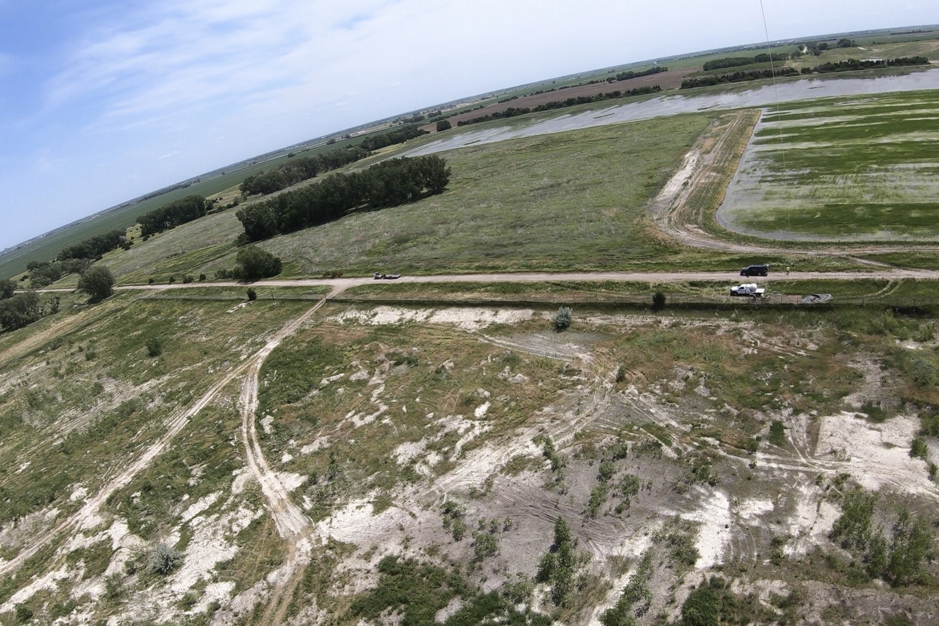
Development of a GIS model and mapping related to visualizing sampling data and response actions for a military munitions remediation project at the Cornhusker Army Ammunition Plant located in Grand Island, Nebraska. DGI utilized ArcGIS software, field data, removal action designs, and aerial imagery to generate maps and graphics designed to present in visual format the site characterization data, monitoring wells locations and removal actions.

